March 23, 2022
The 5 Types of Land Surveys You Need to Know
If you’re reading this then you are probably familiar with a land survey, and how they are beneficial for determining property lines for mortgage requirements, obtaining insurance, updating and correcting previous property surveys, settling disputes, and locating easements and utilities.
But how are surveys different from each other? What kind of survey does your project need? Read on to learn about some of the most important types of surveys our team experiences on a regular basis.
Surveying Types
There are many different types of land surveying that can be utilized depending on a project’s specific needs. Some of the more common types of surveying are included below.
Boundary Surveying
For boundary surveying, land surveyors use public records, field calculations and measurements to determine property lines and corners, easements, and encroachments to create an exact plat or map of a property.
Topographic Surveying
Topographic surveying is a means to visually display a 3D map of a property’s elevation, indicating the relevant dimensions of natural or human-made features as well as any elevation changes. This survey type is useful for:
- Site planning for new construction projects
- Major site renovation projects
- Grading and drainage projects
- Utility, bridge, or road designs and improvements
Civil engineers use topographic surveys in tandem with boundary surveys to draft accurate construction drawings.
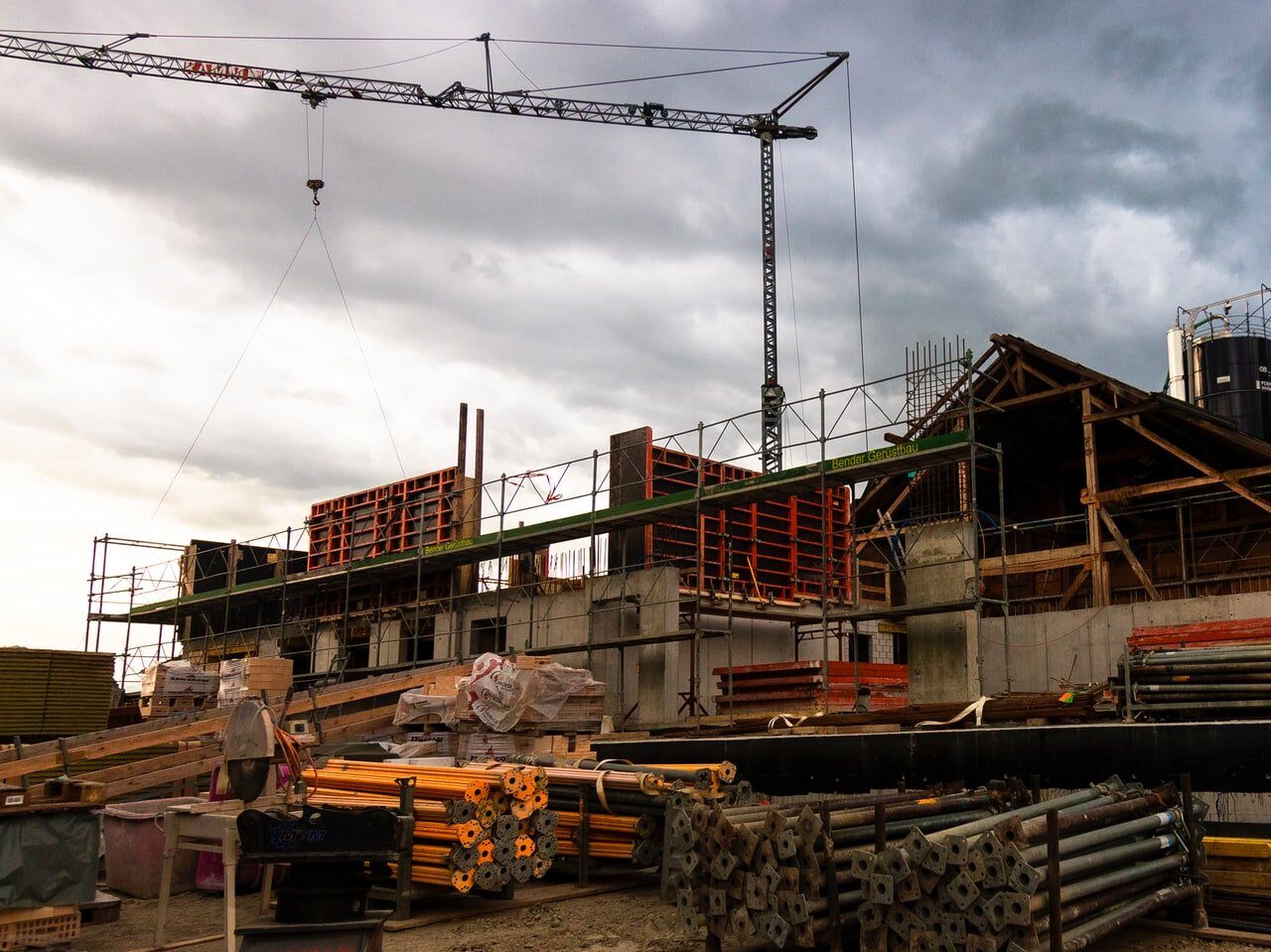
Construction Surveying
Construction surveying is useful in interpreting the civil engineer’s design to establish and verify the placement and geographic location of building corners, sidewalks, roads, or utility features to ensure the new building does not go beyond easements, setbacks, or property boundaries. Construction staking can then be completed to indicate the exact location of these points.
As-Built Surveying
As-Built surveying, sometimes referred to as physical surveying, can be done at any point in the construction process to represent the current state of the site’s project improvements.
Land surveyors perform these for close-out purposes to verify that work was done according to the applicable standards and regulations for a particular construction project. In residential construction, these can include specialized types of as-built surveys called foundation and final surveys.
ALTA Surveying
The respected ALTA survey is a longstanding and highly detailed parcel map that complies with standards set by the American Land Title Association (ALTA) and the American Congress on Surveying and Mapping (ACSM). ALTA surveys are a hybrid of boundary, location, and title surveys that include any property improvements, boundaries, easements, zoning, and utilities and their relation to the property title.
Work With Experienced Surveyors
No matter what type you need, a survey is only as good as the surveyors who complete it. At JBPro, we offer a wide range of land surveying services, including those listed above, as well as platting, aerial inspection and imagery, and subsurface utility surveying. When hiring a land surveyor, work with the team with over 25 years of experience to ensure the best results for your project. You can request a high-quality survey in Florida here.